|
|
|
© Anthony Crawshaw
|
||
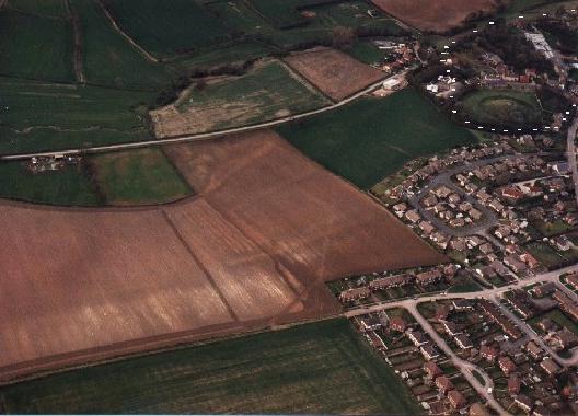
The north west edge of Barwick-in-Elmet from the air. |
||
| This photograph is reproduced with the permission
of Anthony Crawshaw, a specialist aerial photographer.
The photograph shows the NW edge of the village. Outlined in the top
right hand side of the photograph are the earthworks.
|