Those of us who have stood atop of the motte in Hall Tower Field, must have felt the strength of our Iron Age Earthworks which could date back to the 4th Century BC. The earthworks were a magnificent man made defence system, in parts the bank and ditch still measure 4.5m from base to summit - but what an enigma we have here in Barwick!
The Barwick-in-Elmet Historical Society felt for some time that many of our questions could now be answered by carrying out a non-invasive archaeological survey. This would only be part of a larger project to research the history and value of our local heritage.
We managed to fund our survey through a grant awarded by the Local Heritage Initiative - not as easy as it sounds as we had to provide lots of information and back-up that the local community could be both involved in and informed of the results.
As the whole area is of course a Scheduled Ancient Monument, we had to have permission from English Heritage, thankfully they gave their blessing and a "Section 42 License" was granted to West Yorkshire Archaeological Services who were to carry out the survey on our behalf.
The BIG DAY arrived on Monday 30th January and three young men from W.Y.A.S. set up their equipment in Hall Tower Field. Initially, we had identified three areas we had hoped to survey. One of these locations proved unsuitable due to its size and position on Wendel Hill, and at another location access was unfortunately denied by a local landowner. We therefore had only one area to survey, this being the flat grassy part of Hall Tower Field, now mown and cleared for us. Our main hopes were that some evidence for historic activity within the bailey would be identified.
Two different kinds of instruments used were to conduct the survey. One carried out an earth resistance measurement (measures the general background of resistance) and the other was a magnetometer survey (measures the magnetic disturbance and indicates any ferrous material buried within the topsoil and subsoil).
The W.Y.A.S. people (Sam, Edwin and James) were very pleasant, hard working young men who carefully marked out each grid area to be surveyed. A full day of careful walking with their resistance meters, logging readings automatically at 0.5m intervals was the "action" to observe. Indeed, lots of visitors came along to watch the proceedings and ask numerous
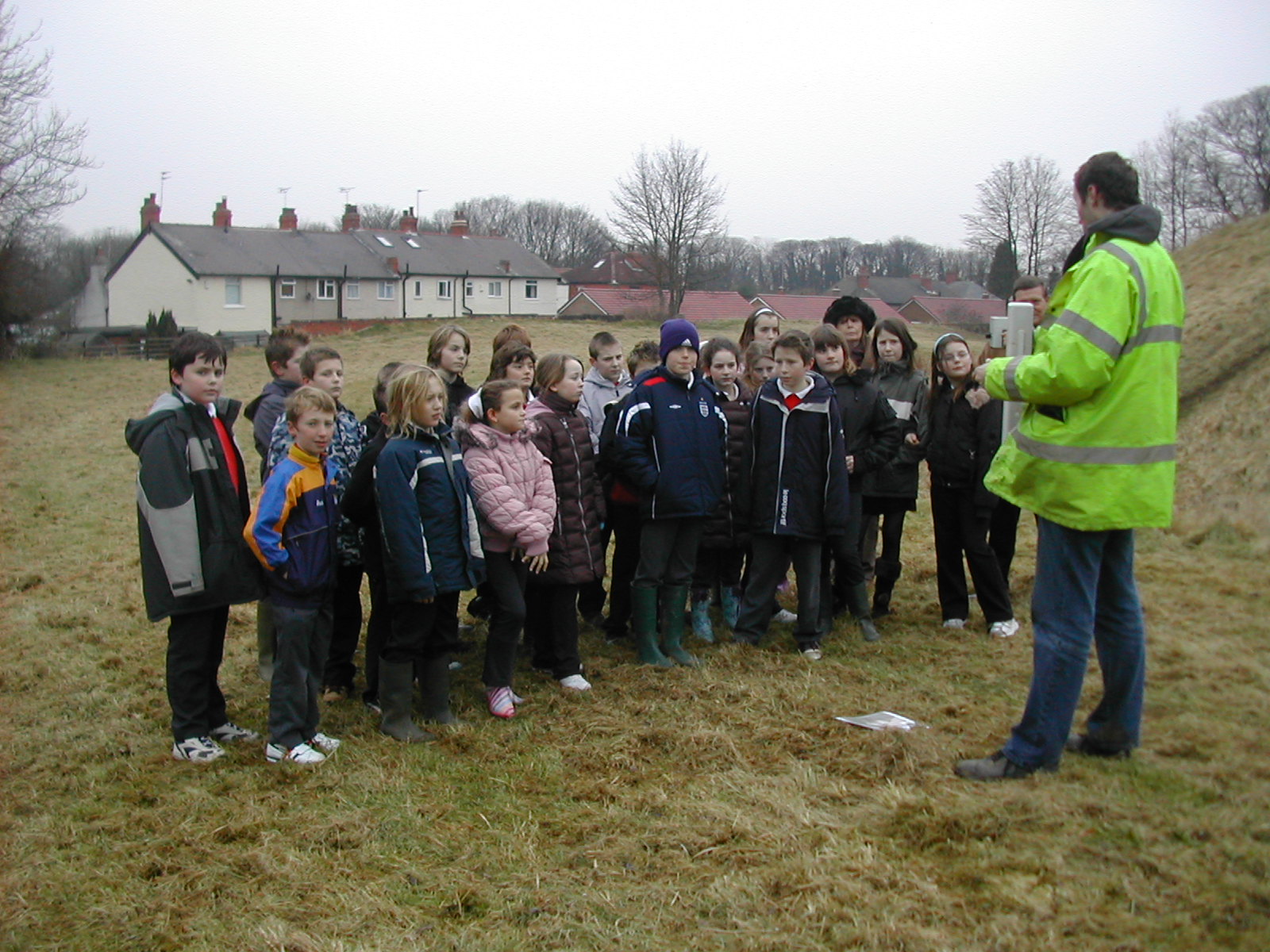
Children from the village's Primary School learning about the investigation
questions. Our local school headmaster came prior to a very active visit from the children (main questions: "how many arrows have you found?" "are there any skeletons?"). We had our Parish Council represented to also watch and learn! At the end of Day 1 Sam told us that the computer readings hadn't shown anything of great significance - but we lived in hope. Day 2 followed much the same as before - lots of walking, measuring, computer checking, visitors and questions. As they were packing up we had a quick look at the mysterious computer data but we had to wait two months before the Official Report was received.
So, what was the result of our geophysical survey? Overall, the two surveys on Hall Tower Field have been a little disappointing. Confident interpretations of the results have proved difficult; apparently this is a small size site to survey and present-day unrestricted public access has had a potentially detrimental impact, particulary on the resistance survey. There are, however various anomalies around the field which could actually prove to have an underlying archaeological origin (possible infilled pits or areas of burning from the distant past). So, watch this space, possibly one day we can get permission for an archaeological dig and then we shall have the story….perhaps?